Services
Five services, from high-altitude mapping down to underwater inspection.
In the air
Mapping, surveying, inspection, and 3D capture from above.
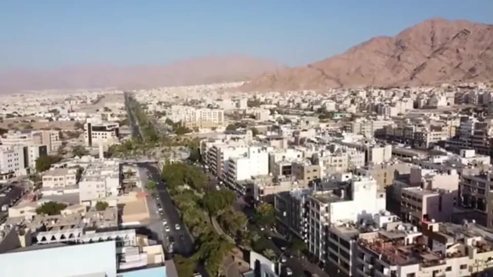
Aerial mapping
High-resolution maps, orthophotos, and 3D models of land, buildings, and infrastructure.
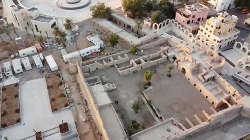
Aerial surveying
Accurate geospatial data for planning, resource management, and environmental assessment.
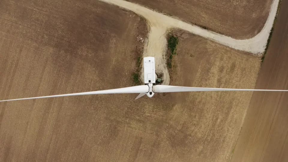
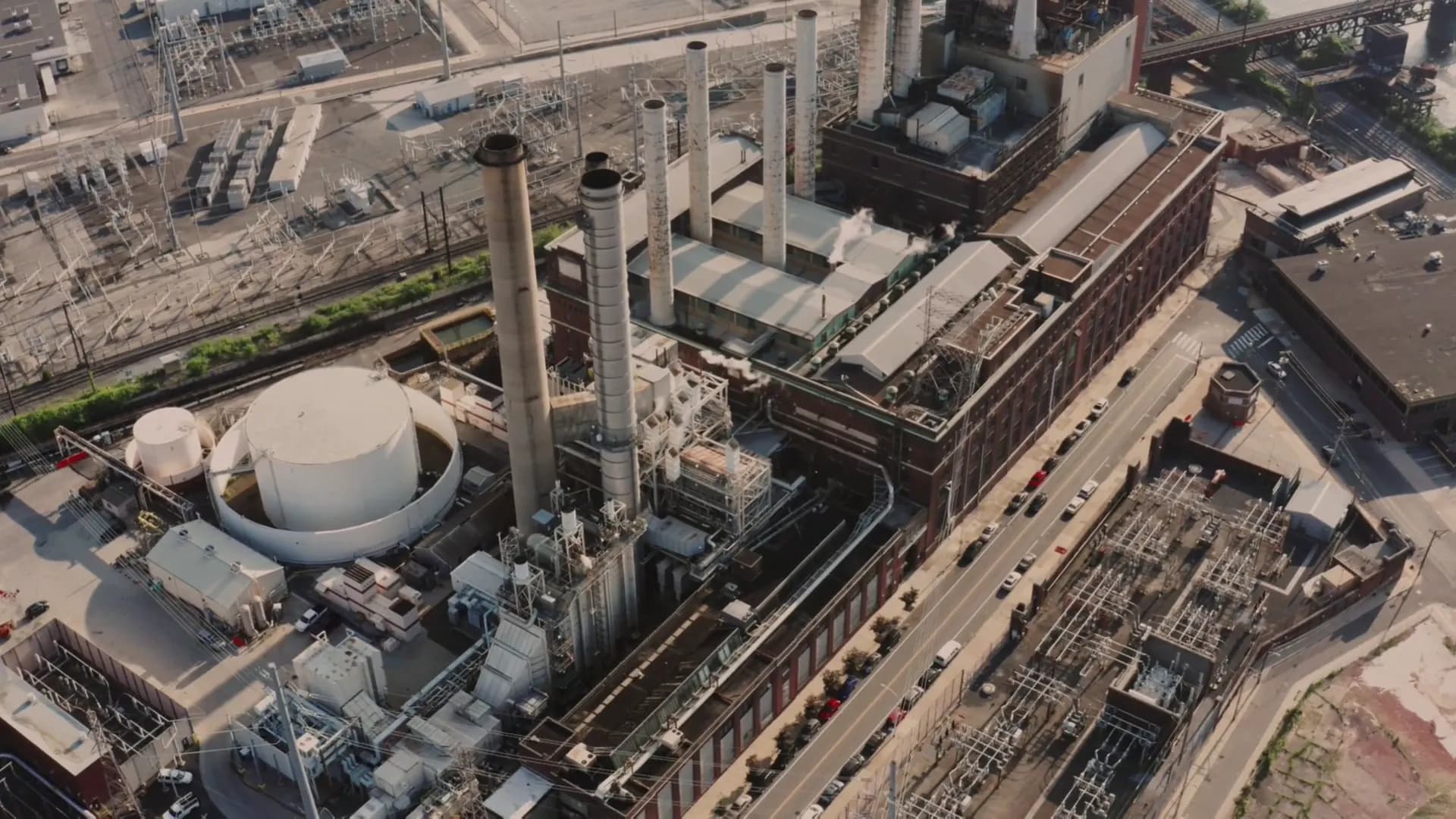
Inspections, solar power / wind power
Close inspection of solar plants, wind turbines, and telecom towers, with no climbing and no downtime.
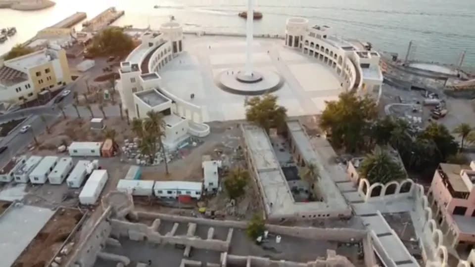
3D modeling
Accurate digital models of sites, buildings, and heritage, built from aerial imagery.
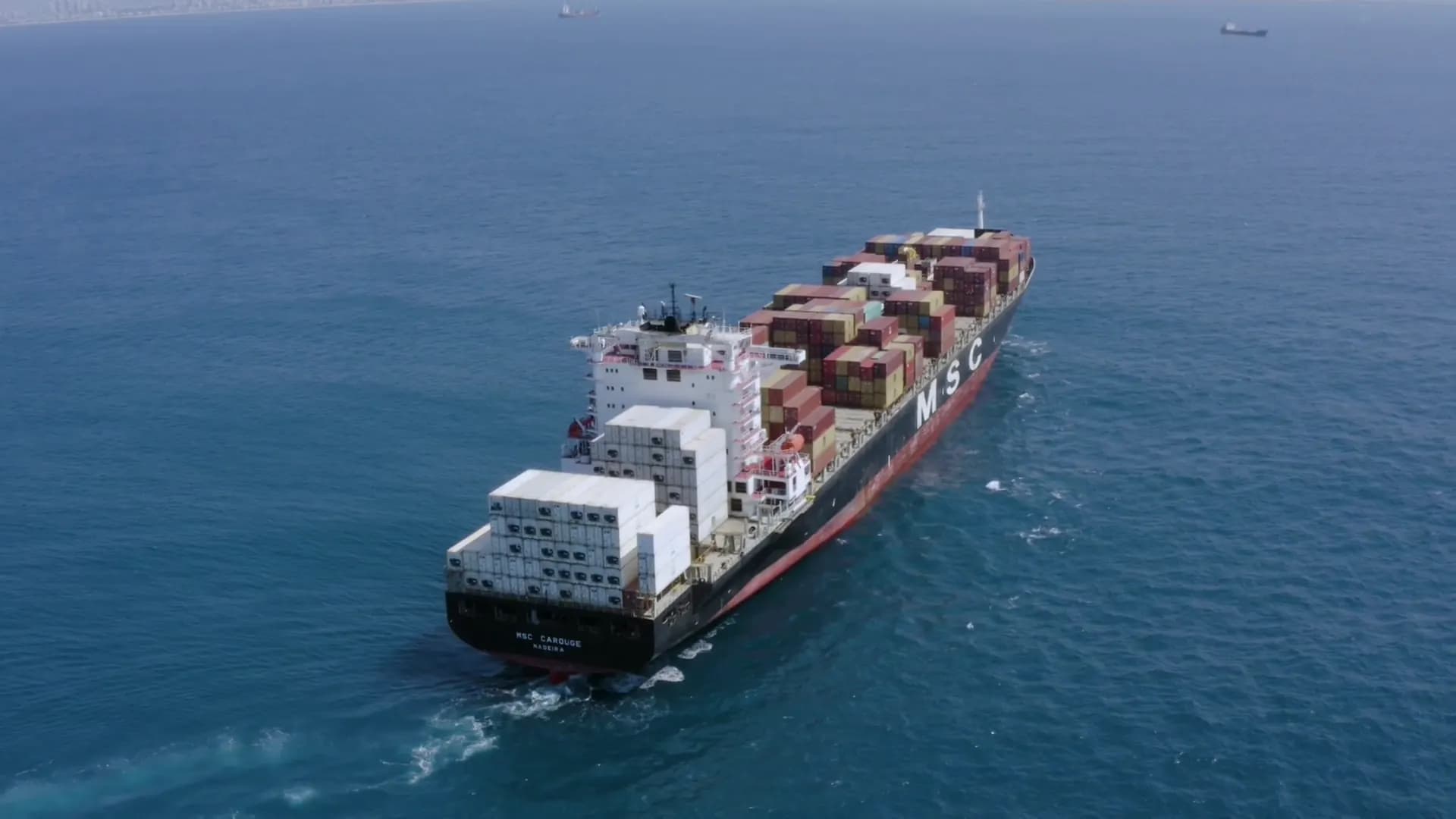
Below the surface
Remotely operated underwater drones document what divers should not have to reach.
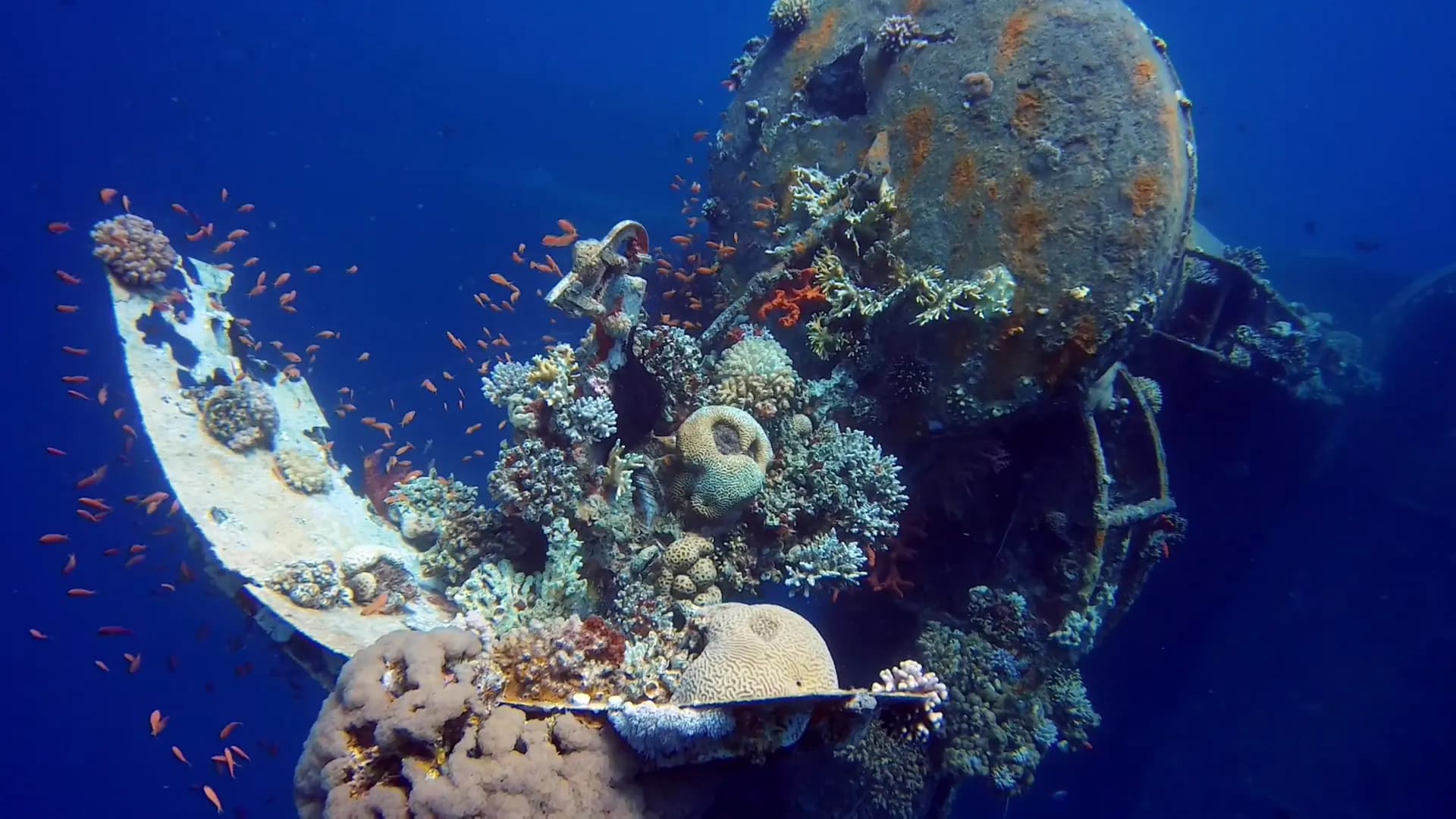
Underwater photography and inspections
ROV imagery of hulls, pipelines, platforms, and marine habitats, without putting divers at risk.
- Infrastructure inspections
- Marine research
- Aquaculture
- Search and recovery
Tell us about your project
Contact us to discuss your requirements. Our team will tell you how drone data can help.