
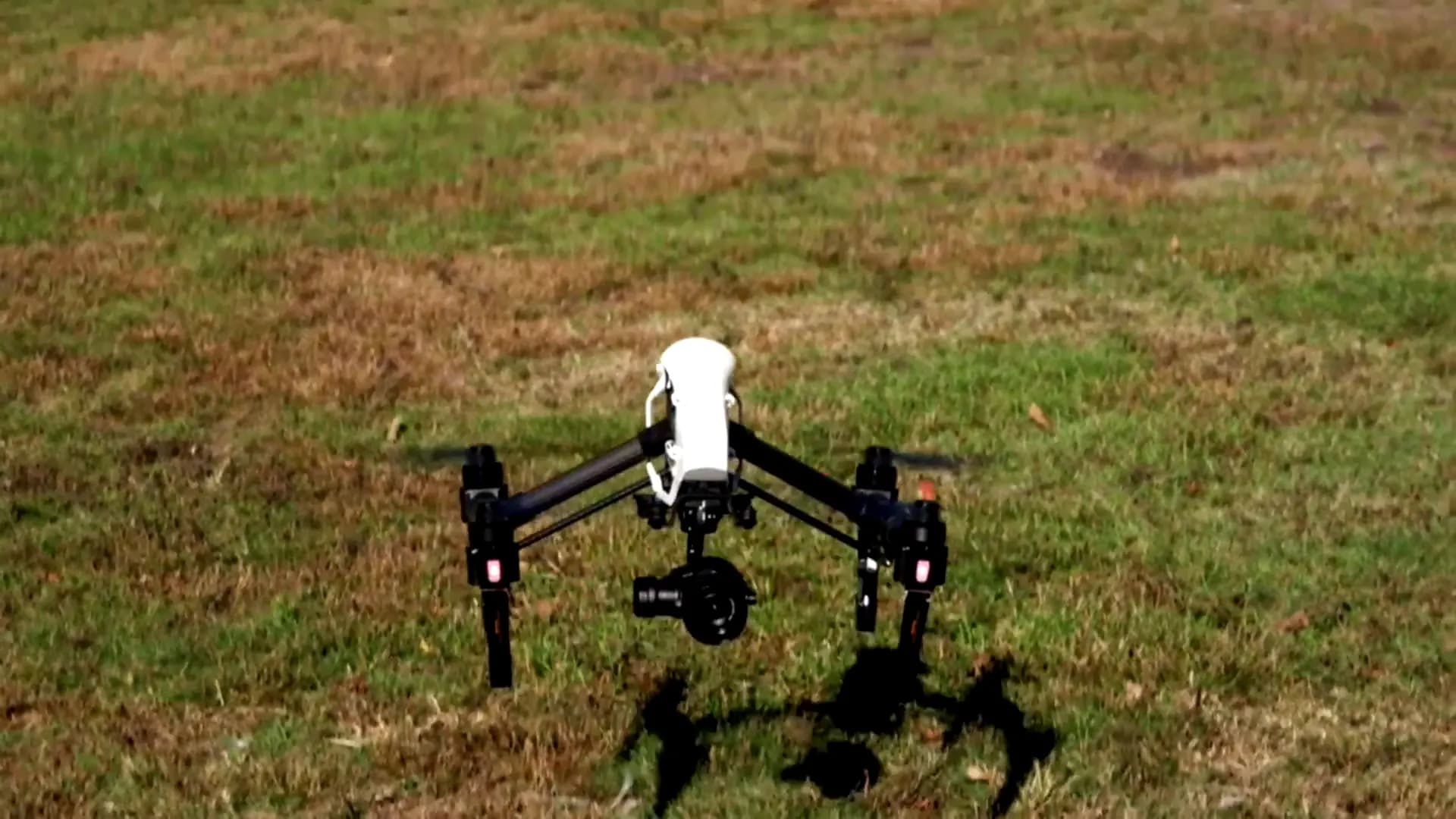
Professional drone services, in the air and under the sea
Powered by the latest AI technology.
We guarantee
Fast service delivery
Drone capture is faster and more cost-effective than traditional methods, so results reach you promptly.
Accuracy
State-of-the-art GPS and camera technology for precise mapping, data collection, and high-resolution imagery.
Safety
Inspections run from the ground: no risky climbs, no scaffolding, and no divers sent into hazardous water.
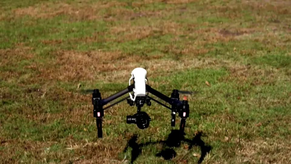
Welcome to Blue Sky Drones
At Blue Sky Drones, we are committed to delivering top-notch drone services that redefine the standards of aerial and underwater inspections and photography. Our passion for innovation and excellence drives us to provide you with the highest quality solutions tailored to your specific needs.
In the air
Mapping, surveying, inspection, and 3D capture from above.
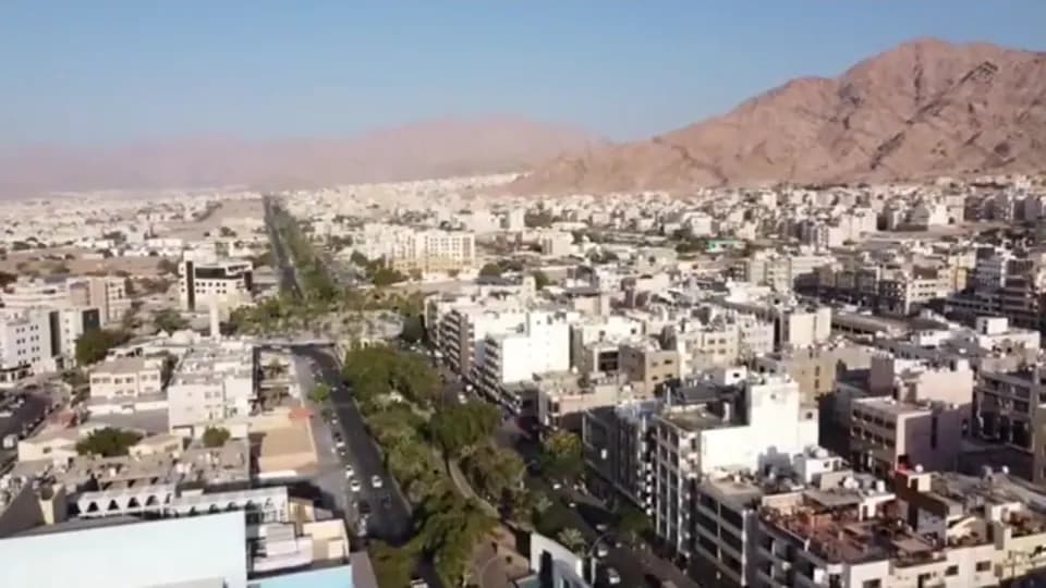
Aerial mapping
High-resolution maps, orthophotos, and 3D models of land, buildings, and infrastructure.
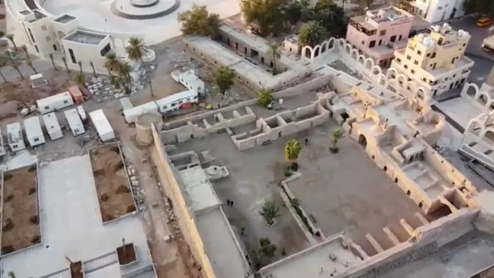
Aerial surveying
Accurate geospatial data for planning, resource management, and environmental assessment.
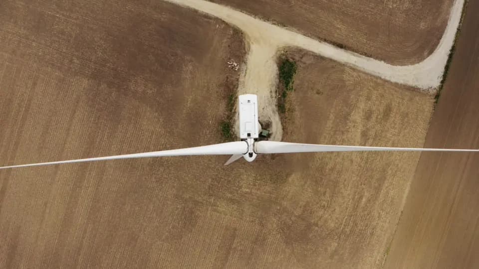
Inspections, solar power / wind power
Close inspection of solar plants, wind turbines, and telecom towers, with no climbing and no downtime.
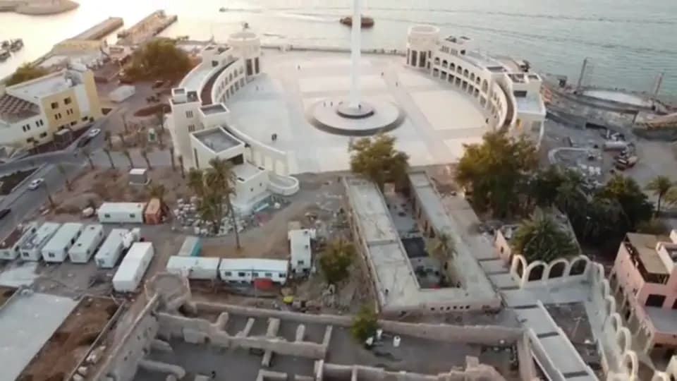
3D modeling
Accurate digital models of sites, buildings, and heritage, built from aerial imagery.
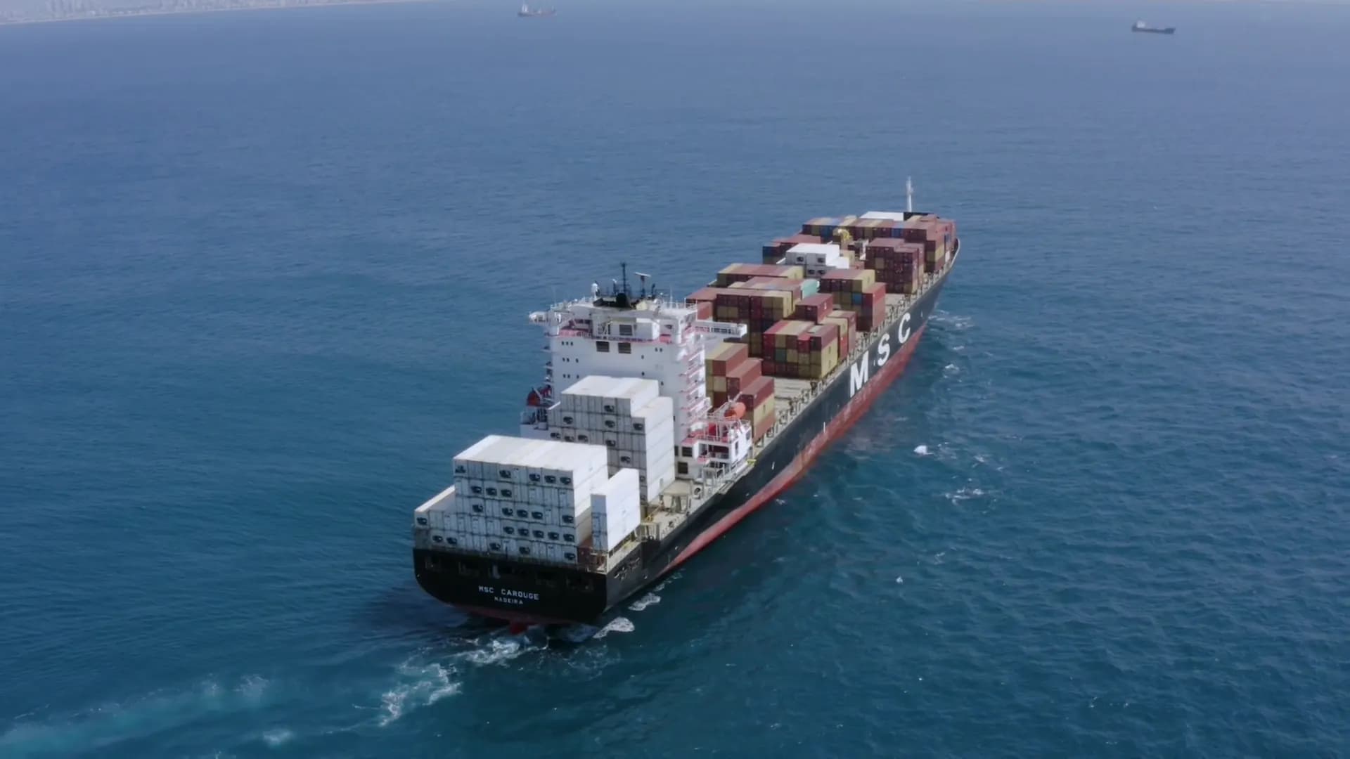
Below the surface
Remotely operated underwater drones document what divers should not have to reach.
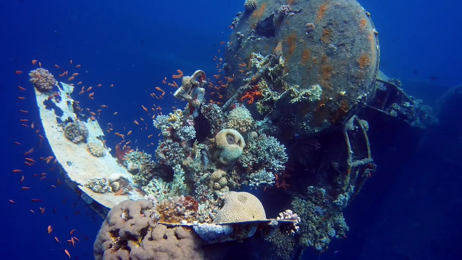
Underwater photography and inspections
ROV imagery of hulls, pipelines, platforms, and marine habitats, without putting divers at risk.
- Infrastructure inspections
- Marine research
- Aquaculture
- Search and recovery
Footage
Flights over Aqaba and a reel of the work we do, from wind farms to underwater wrecks.
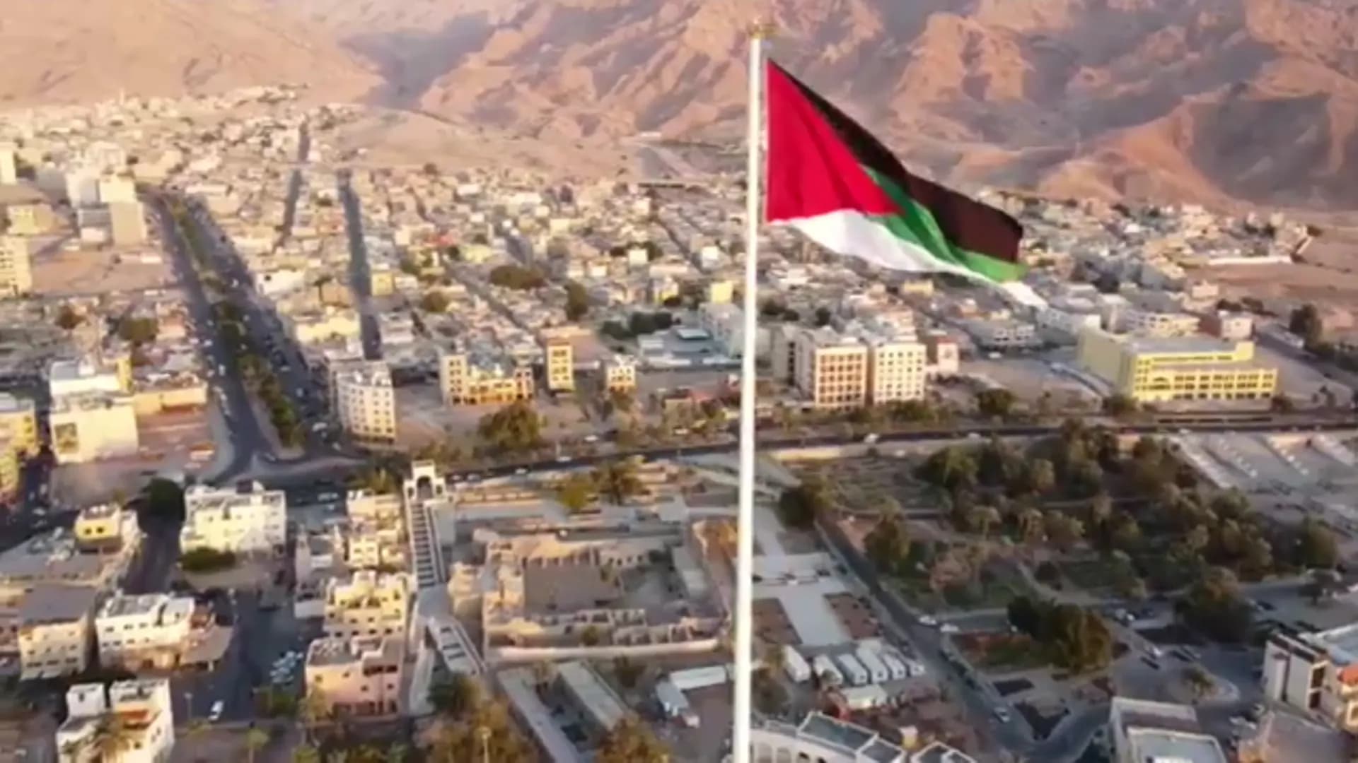
Based in Aqaba
We work from Aqaba, where Jordan meets the Red Sea, and fly wherever your project is.
Aqaba, Jordan, 4th trading area29.5267° N, 35.0078° E
Tell us about your project
Contact us to discuss your requirements. Our team will tell you how drone data can help.